Field guide · Drive
The Fall Color Drive
Garner and Lost Maples sell out on fall weekends. The color does not stop at their gates. This is a one-day loop from Bandera through three river canyons, the Medina, the Sabinal and the Frio, with the color on the road and at public crossings, and the two big parks as stops you can take or skip.
Share your fall color photos ↓Share with others in our community. Seen the leaves turning somewhere in the Hill Country? Add your photo and the date you saw it.
Latest foliage report
As of November 10, 2026. Texas Parks and Wildlife's fall foliage report from Lost Maples: the maples are starting to change but most have not turned fully yet, and the park is selling out on weekends and staying busy on weekdays. Cypress runs about two weeks behind the maples, so the rivers on this loop keep their color into December.
Conditions change by the week. Check the Lost Maples foliage report before you drive, and see what other people have seen this week in the photos below.
The map
Start in Bandera and drive the loop counter-clockwise, west into the hills in the morning and home with the sun behind you. The dotted lines are side trips out and back.
Tap the map to open it full screen. On a phone it turns sideways to fit.
| Bandera → Medina TX 16 | 13 mi · 20 min |
| Medina → Vanderpool RR 337 | 19 mi · 35 min |
| Vanderpool → Leakey RR 337 | 16 mi · 30 min |
| Leakey → Garner US 83 to RM 1050 | 9 mi · 12 min |
| Garner → Utopia RM 1050 | 15 mi · 25 min |
| Utopia → Tarpley FM 470 | 19 mi · 28 min |
| Tarpley → Bandera FM 470 | 13 mi · 20 min |
| The loop | 104 mi · 2 hr 50 min |
Miles and minutes are our estimates for an unhurried drive; RR 337 is slower than its miles. The map is an illustration, not for navigation. Open the loop in Google Maps for turn-by-turn.
The stops
Numbered stops are on the loop. The dashed ones are side trips. Garner is stop 5: a place to stop if you have a pass, not the end of the drive.
Start here
 1Bandera City ParkBandera · City park
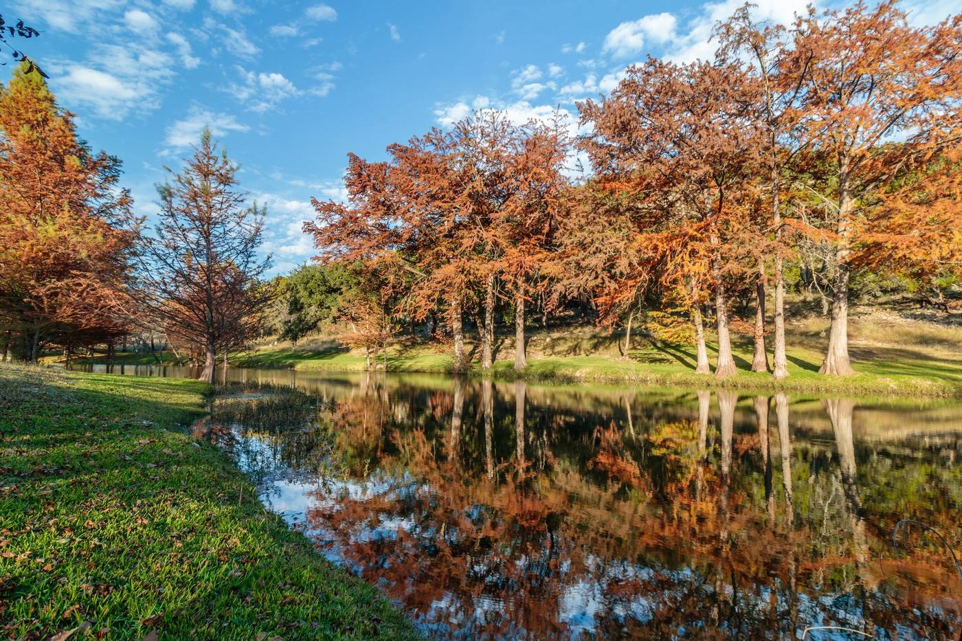
Bald cypress along the Medina River at the edge of downtown. Cypress is the color that lasts: it goes rust brown after the maples and holds it into December. A good place to see what the rivers are doing before you head west.
TX 16 · about 13 miles, 20 minutes
 2The Medina River at MedinaMedina · Public crossings
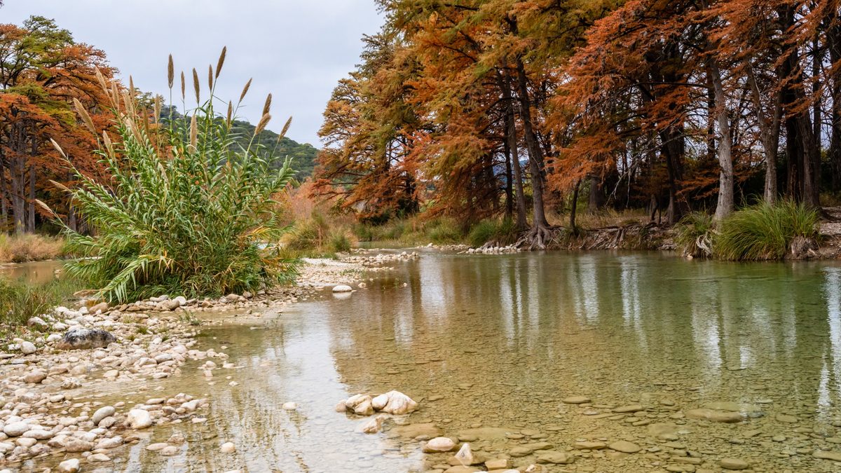
Highway 16 follows the river up the valley under pecan and cypress. The river runs narrow and cypress-lined here; look from the public road crossings and stay inside the right-of-way, the banks beyond are private.
RR 337 · about 19 miles, 35 minutes
 3Photo: Wesley TarpleyRR 337 over the divideVanderpool · The road itself
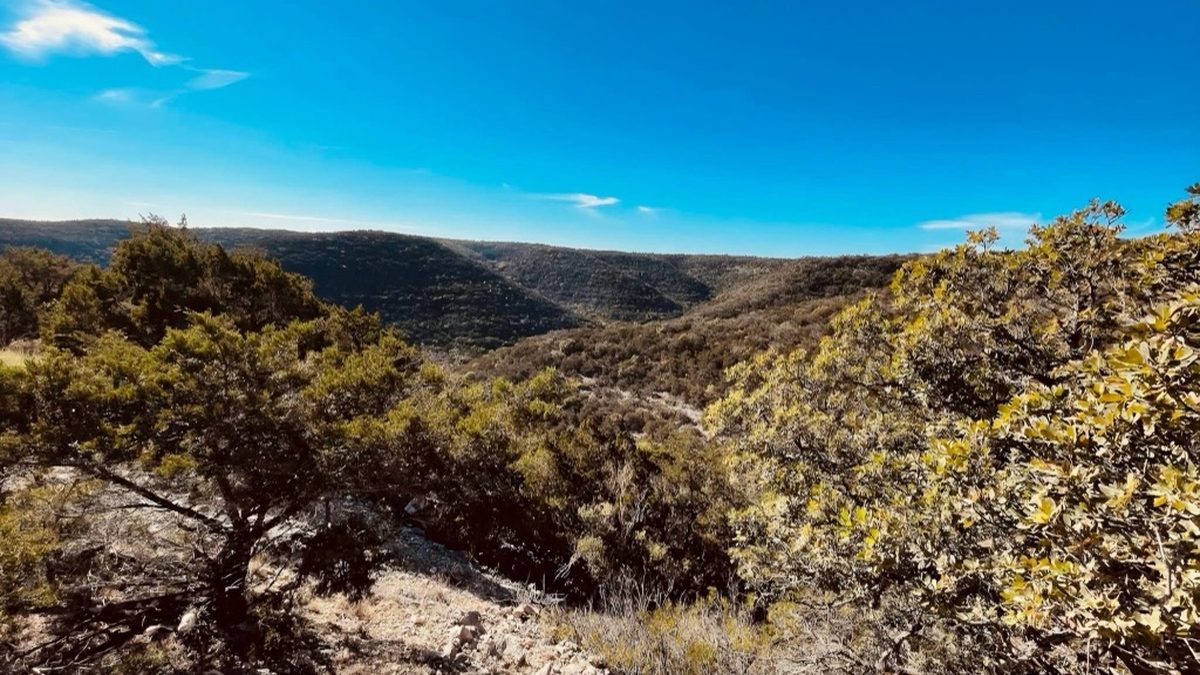
The first of the Twisted Sisters climbs out of the Medina valley and drops into the Sabinal. This is where the hillsides show red: Spanish oak and flameleaf sumac on the slopes, not in a park. Steep and slow. When a sign says 10 mph, it means it, and there are pull-offs but few.
Side trip · RR 187 north, 5 miles each way
 +Lost Maples State Natural AreaLost Maples · Day pass · sells out
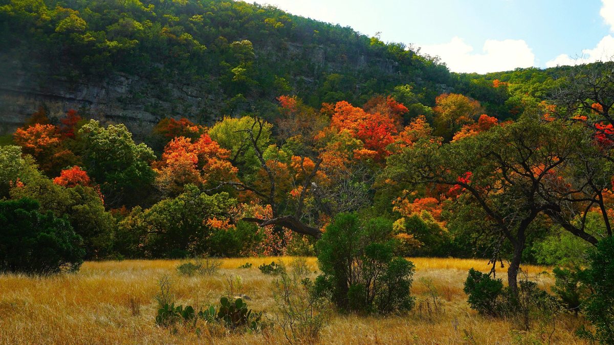
The bigtooth maples the Hill Country is known for. Only with a day pass bought ahead: Texas Parks and Wildlife says it is selling out on weekends this fall. No pass, no problem: skip the turn and keep going west. The rest of this loop needs no reservation.
RR 337 · about 16 miles, 30 minutes
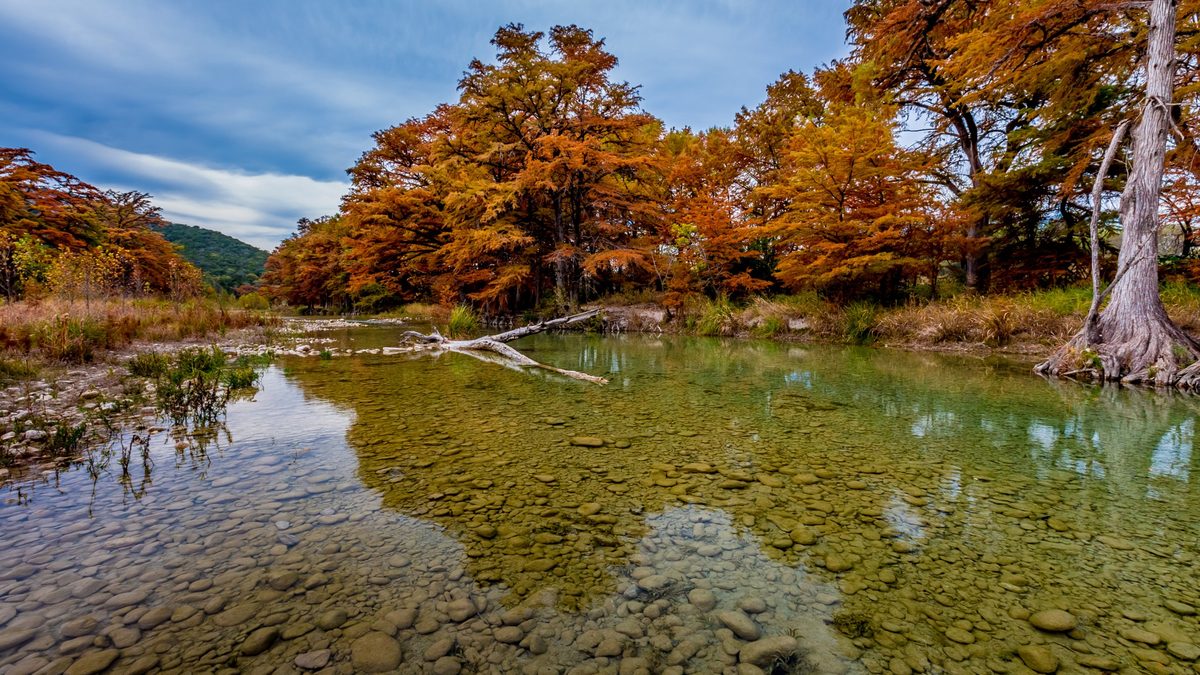 4The Frio at LeakeyLeakey · Free · public crossing
The second Sister drops you into the Frio Canyon. At the Leakey crossing the river runs over limestone between cypress, quieter than anywhere downstream. Free, and no pass.
US 83 south, then RM 1050 · about 9 miles, 12 minutes
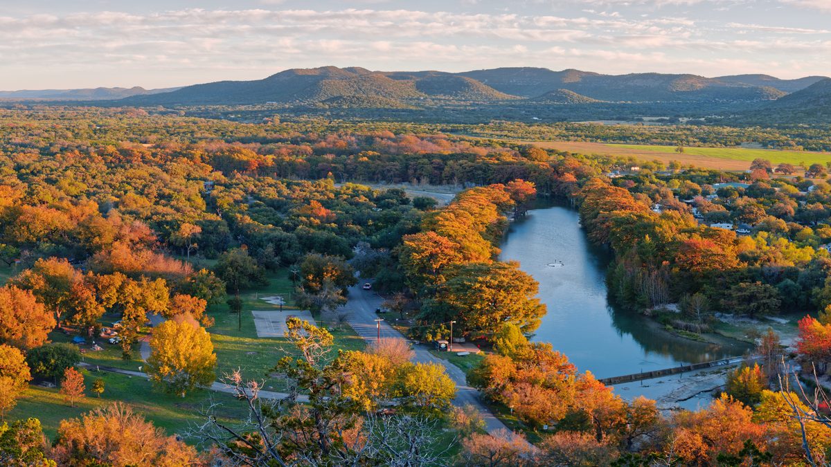 5Garner State ParkConcan · Day pass · a stop, not the end
Cypress along nearly three miles of the Frio and maples on the slopes of Old Baldy. If you have a day pass, stop. If Garner is full, you are not missing the color, only the gate: drive on, or take the Concan side trip below for the same river.
Side trip · US 83 south, about 7 miles each way
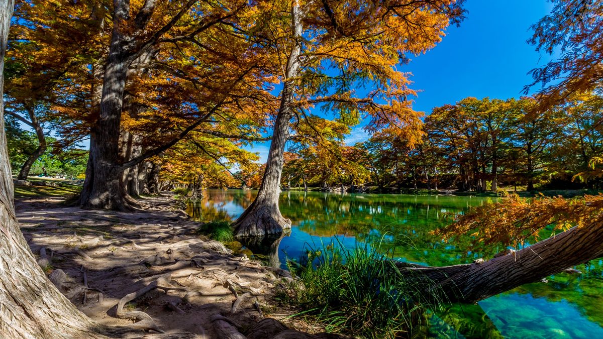 +The Frio at the Concan crossingsConcan · Free · public crossings
Below Garner the Frio runs past public road crossings: Neal’s Crossing on TX 127, Magers and Kenneth-Arthur. Tall cypress, clear water, no gate. Stay in the public right-of-way; the land around them is private.
RM 1050 east · about 15 miles, 25 minutes
 6Utopia Park on the SabinalUtopia · Small day-use fee
RM 1050 is the gentle road of the day, winding easy through the hills to Utopia. The Sabinal runs through Utopia Park with cypress on its banks and a bird-watching area. The park lists day use at $10 a person.
Optional · RR 187 north to Vanderpool
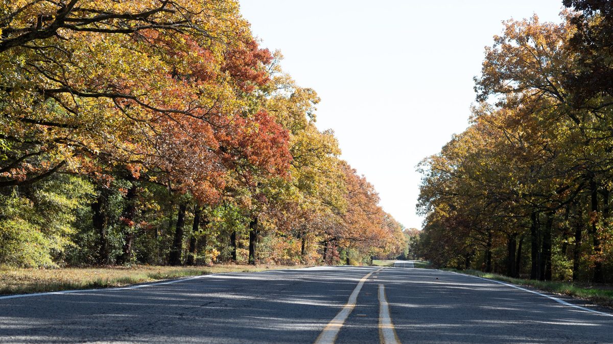 +RR 187 through the Sabinal CanyonUtopia · Shortcut north
If you started late or want the canyon twice, RR 187 runs north from Utopia up the Sabinal to Vanderpool, past the Lost Maples turn. A driving route, with narrow shoulders.
FM 470 · about 19 miles to Tarpley, 13 more to Bandera
7FM 470 home through TarpleyTarpley · The road homeOpen ranch country and creek crossings on the way back east, with the low sun behind you. Back in Bandera by dusk if you left after breakfast.
Before you go
- Fill up in Bandera. Towns on the loop are small and far apart.
- Expect no signal in parts of the canyons. Download the map before you leave.
- Get the Texas Hill Country Travel App before you go, so the guides and maps are on your phone: hillcountry.app.
- Go early or late. Low sun through the leaves is what makes the color glow; midday flattens it.
- Stay on public ground. Most riverbanks are private. Crossings and parks are the places to stop.
- Weekdays are quieter. On a weekend, this loop is the way around the crowds rather than into them.
What people are seeing
Seen color somewhere in the Hill Country? Add your photo with the date you saw it, and the next person can see what this week looks like. Photos show here once we have had a look, usually within a day.
Photos from visitors
Fall color people have seen around the Hill Country this season, newest first. Tap a photo to see it larger.
Loading photos…
The whole season
When the maples and cypress turn, and the other parks to watch: Fall Color in the Hill Country. The roads themselves: the Twisted Sisters.
Stay near the color
Houses near the loop.
A private 50-acre hideaway near Medina with hiking trails, a spring-fed pond and dark skies.
See the house →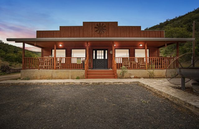 Miracle Springs Ranch LodgeLeakey · sleeps 20 · $500 – $1,000/nt
A 754-acre waterfront ranch near Leakey, set high with wide canyon views.
See the house →Riverside, eight miles from Leakey, with canyon and mountain views all around.
See the house →Sixty private acres near Medina and Vanderpool, with a spring-fed creek and a pond.
See the house →A roomy hacienda-style home on the Medina River in Bandera, with an optional 1930s casita.
See the house →All housesSee every house we manageOpen the list →