Hill Country/Llano River Country/Junction/Rivers/South Llano Paddling Trail
River · Junction
South Llano Paddling Trail
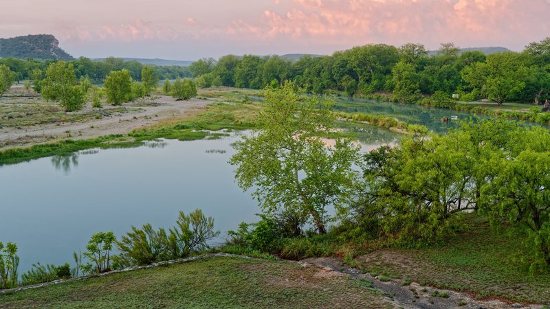
The South Llano Paddling Trail is a Texas Parks and Wildlife paddling trail of about 6.3 miles on the spring-fed South Llano River, from South Llano River State Park downstream to Junction City Park. A crossing at Flatrock Lane splits it in two: about 4.7 miles from the state park to Flatrock Lane, roughly two hours, and about 1.6 miles from Flatrock Lane to the city park, roughly one hour. The whole run takes two to four hours depending on the water level, the flow and the wind.
Why people come here
Before you go
Float times depend on the water level, flow and wind. At the state park the concrete bridge apron is closed after a collapse: exit before the bridge, carry around it and re-enter downstream. Check the live river gauge (USGS 08149900, South Llano River at Flat Rock Lane in Junction) and the park's guidance before you paddle, and wear a life jacket.
Ask Roy
Your guide to Junction and Llano River Country.
The river access, the granite, the topaz at Mason, and which day Cooper’s is worth the wait.
Roy is AI and can make mistakes.