Clear water running over open pink granite — one of the great fishing and paddling rivers of the Hill Country, famous for Guadalupe bass and the wide stone slabs that give it its character. Flashy and rain-fed, big when it's big and a trickle when it's dry.
About the river
The Llano forms at Junction where its North and South forks meet, then runs east over wide sheets of pink granite past Mason and through the town of Llano before joining the Colorado at Lake LBJ. It's a fishing river first — home water for the Guadalupe bass, the Texas state fish — and a fine paddling and swimming river when the flow is up. The name is simply Spanish for "plain."
At a glance
What to know
The Llano's claim to fame is the Guadalupe bass — a native Texas fish whose strongholds are these Central Texas rivers and nowhere else. Keeping that fishery healthy is part of why the small things matter here: handle fish gently, pack out your line and trash, leave the granite and gravel as you found them, and tread lightly on a river that runs low for much of the year.
The Llano is some of the best wade and fly fishing in Texas for the state fish — clear, granite-bottomed water, best up around Junction and the South Llano.
South Llano River State Park, just outside Junction, is the easiest public access to the river — swimming, paddling, birding, and camping on the South Llano fork.
The Llano is one of ten Hill Country rivers. See them all on the HillCountry.ai rivers hub ↗
Common questions
Check the live USGS gauge at the top of this page (station 08151500, Llano at Llano). The Llano is rain-fed and runs over open granite, so it can drop to a trickle in a dry summer and rise hard and fast after a storm — it's a famously flashy river. The live reading is the honest picture on any given day.
It's one of the best fishing rivers in the Hill Country, known above all for Guadalupe bass — the Texas state fish, native to these Central Texas rivers and nowhere else. Clear water over granite makes for excellent fly fishing and wade fishing, especially up around Junction and the South Llano.
Yes, when there's water in it. The clear granite-bottomed runs are great for kayaking and swimming at the right flow, with the river's signature pink-granite slabs and crossings. Because it's so flow-dependent, check the gauge before planning a paddle — and never get on it when it's rising.
It forms at Junction, where the North and South Llano forks meet, then runs east past Mason and through the town of Llano before joining the Colorado River at Lake LBJ. South Llano River State Park, just outside Junction, is the easiest place to know it. The name is simply Spanish for "plain."
Very much so. The Llano has a long record of dramatic, dangerous floods — open granite and steep watersheds mean rain upstream can send the river up many feet in a short time. Always check the live gauge and the forecast, heed flood warnings, and never cross a flooded low-water crossing on foot or in a vehicle.
Spring and early summer usually bring the best flow for paddling and swimming; fall is prime for fishing and cooler days on the water. Since the river is rain-driven and flashy, the live gauge is the best guide to any specific week.
Good to know
The Llano is rain-fed and famously flashy — it can read low for weeks, then jump many feet after a storm. Clear water over open pink granite makes for great fishing and, when it’s up, paddling and swimming. The live gauge above is the honest read on any given week. Glass is banned, there are no lifeguards, low-water crossings flood first, and a rising Llano is no place to be. Check the level, then go.
The River CodeRead the code ▾
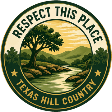
Built with the locals who know these rivers best. The Frio and the Guadalupe show what happens when a river gets loved too hard — these are the few things that keep the rest the way they are.